busted
gps surveying
little island
quarry
softkill |
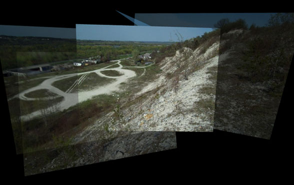
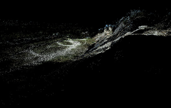
Over 900 photos of an abandoned quarry were processed using Photosynth. The the resulting point cloud was gathered from browsers temporary files and transferred into Meshlab. Finally a point-colored mesh was generated. Unfortunately final model didn't represent the actual terrain accurately due to limitation of eye-level photography.


|

