| PORTFOLIO modeling little island | |
| busted gps surveying little island quarry softkill |
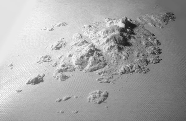
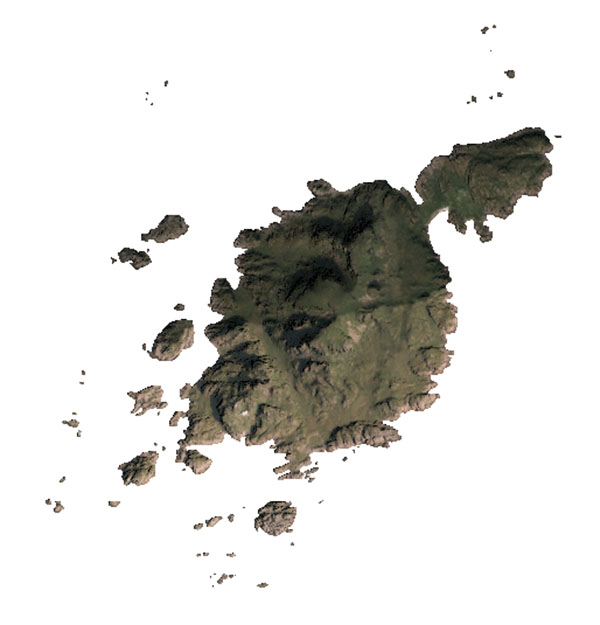
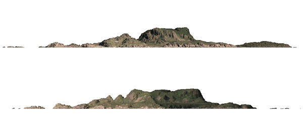
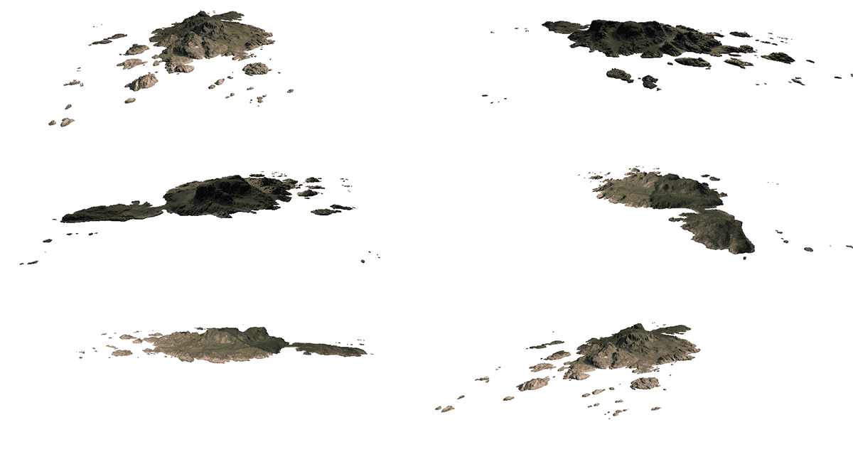
Using Norwegian publicly available LIDAR data from Hoydedata website I have painstakingly created an optimized mesh of Litloya (Little Island) where I built a water shed. From there I could proceed to print the model.     |